
NEAR-SHORE BATHYMETRY UNLOCKED BY USVs & SATELLITE IMAGERY
WAVESS combines multispectral satellite imagery with autonomous in-situ data capture to support repeatable, accurate surveys at scale.
Core Advantages
Integrated management platform for bathymetry operations, from mission planning to map delivery.
98% area reduction
Lower surface data acquisition requirements compared to conventional echo-sounder surveys.
Same-Day
Instant availability of processed information for fast operational decisions.
80% time reduction
Significant reduction in operational time and resource deployment compared to a conventional survey.
Validated Methodology
State-of-the-art SDB algorithms validated by experts against reference data.
Automated Surveying
End-to-end automated process, including planning, acquisition, processing, and final map output.
Online data access
Access mission data and maps through the web platform.
The WAVESS Deployment Process
Outline Area
Define your survey boundaries directly on high-resolution satellite imagery in an interactive map.
Get Mission Plan
The survey path for the USV is generated automatically using terrain estimates and survey constraints.
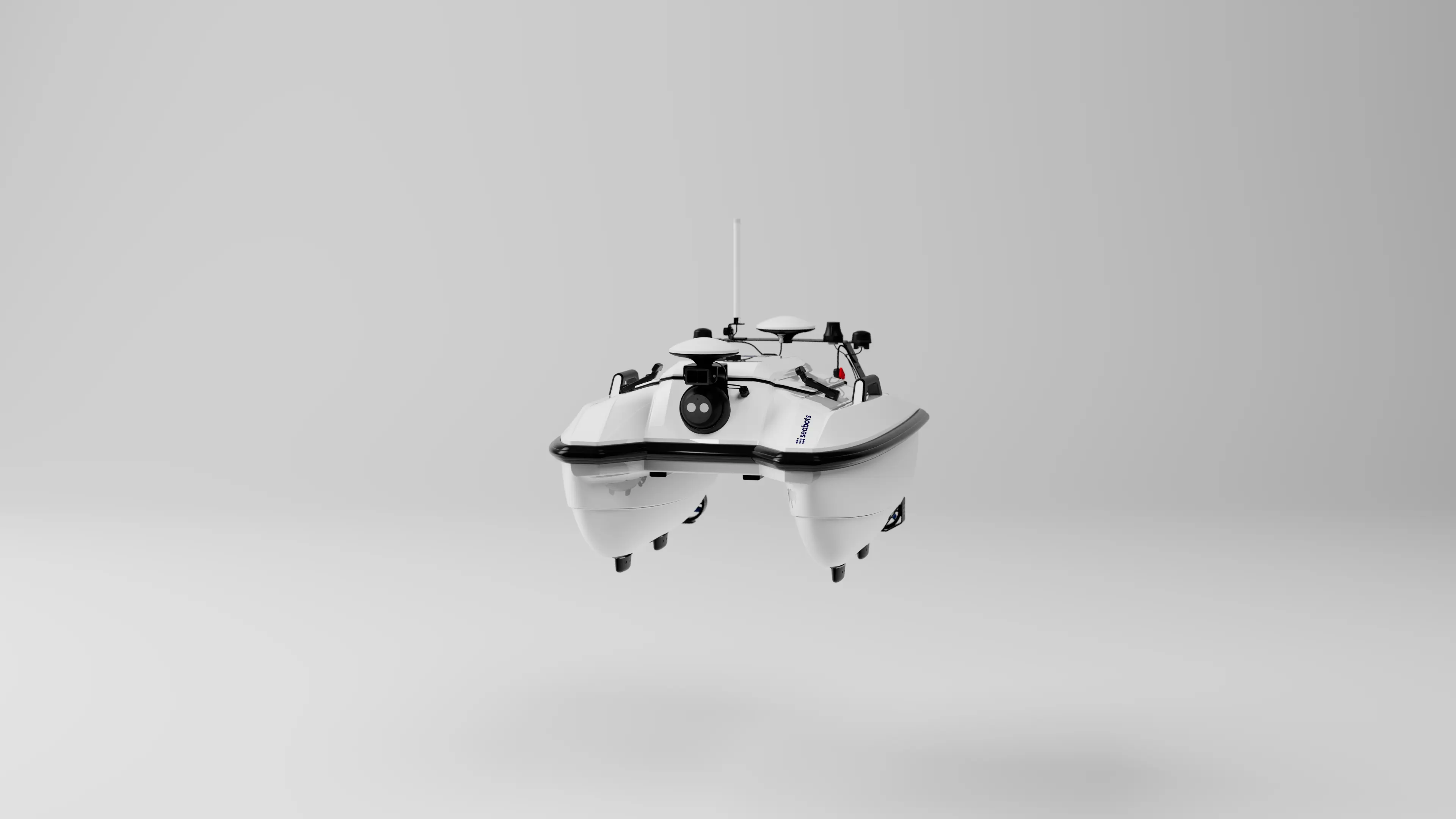
Deploy Seabot
Deploy the USV in the survey area. The vehicle follows the mission plan using GNSS positioning, reporting live telemetry.
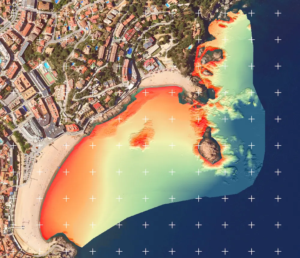
Record Bathymetry
Collected field data and satellite data are combined in real time to produce a bathymetric map for the entire survey area.
Technical Specifications
Designed for accurate shallow-water bathymetric assessment in coastal and inland environments.
Spatial Resolution (XY)
Depth Range
Intended for shallow-water and nearshore surveys.
Vertical Accuracy (Z)
Validated with multi-beam echo sounder reference data.
Compatibility
- Seabots USVs
- Swarm Management
- ESA Copernicus, Planet, Airbus
More Information
Contact our team for a platform walk-through, technical discussion, or specific information.